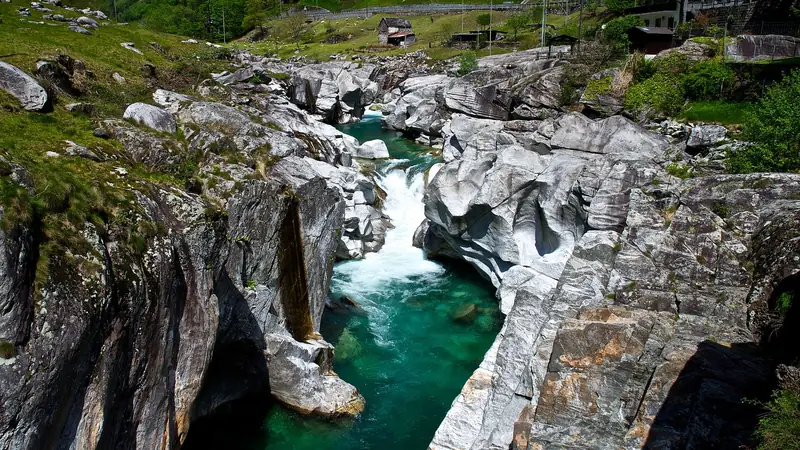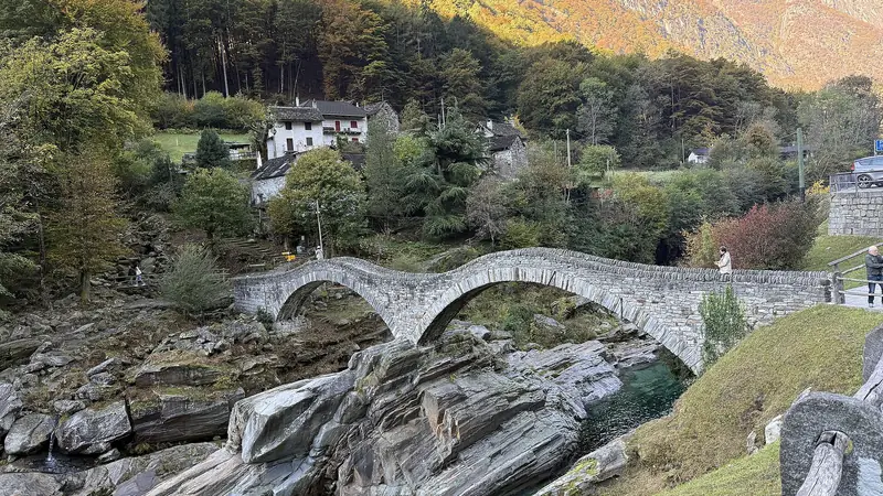
The Verzasca Valley is walking country. Old mule tracks run along the river, past stone bridges and between villages that were once connected only on foot. Distances below are approximate, so check current maps and timetables.
Walks by level
| Walk | Level | Time (approx.) | Notes |
|---|---|---|---|
| Village to Ponte dei Salti and riverside slabs | Easy | 1 hour | Shoes with grip, no swimming in high water |
| Riverside paths along the Verzasca | Easy to moderate | 1 to 3 hours | Use the PostBus to return |
| Village-to-village trails towards Corippo | Moderate | Half a day | Climbs and descents, check the route |
| Trails from Sonogno | Moderate to hard | Half to full day | Mountain terrain, weather matters |
Easy riverside walks
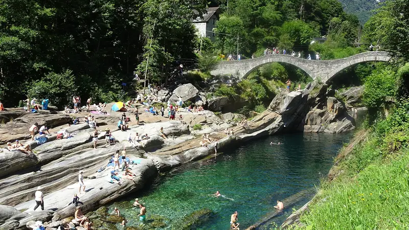
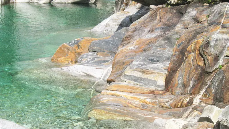
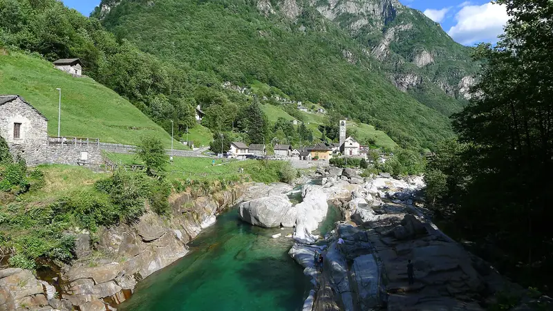
The best-known stroll is from Lavertezzo to the Ponte dei Salti and onto the gneiss slabs. From there, paths follow the river for longer walks. A simple plan is to walk one way and return by bus. Sections of the valley can be linked in this way. Check the PostBus options.
Village trails
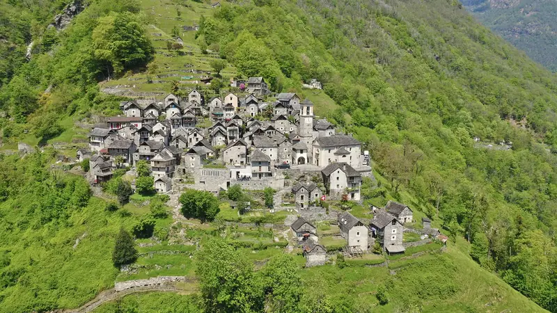
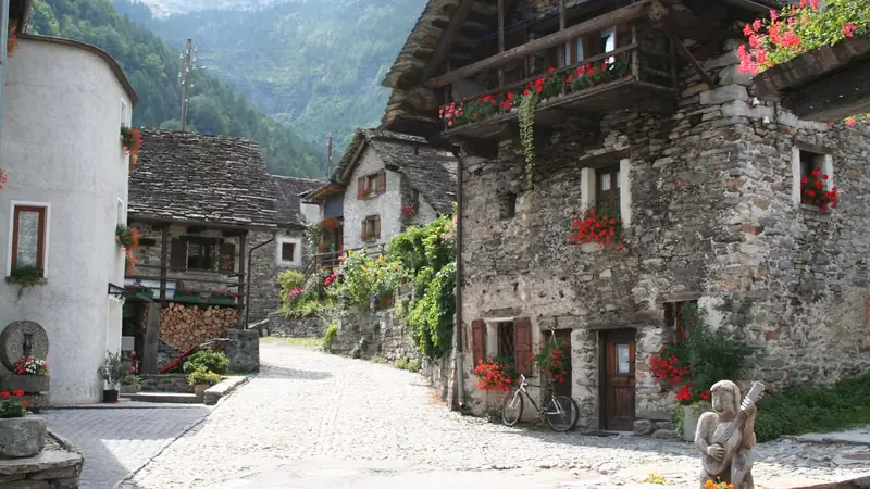
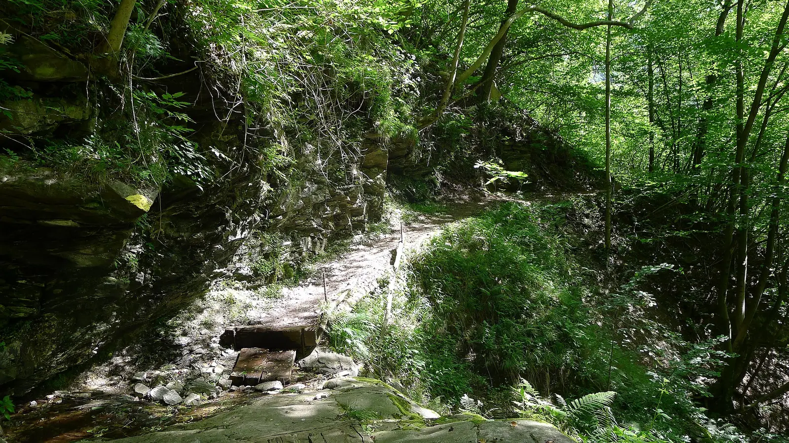
Trails link the small settlements on the valley sides, often following old mule paths. The route to and from Corippo is an example: a mix of woods, stone steps and viewpoints. Read more on the Sonogno and Corippo page.
Trail signs and safety
- Yellow signposts: regular hiking paths.
- White-red-white: mountain trails, for sure-footed walkers.
- White-blue-white: alpine routes with higher risk.
Carry water, food, a map and a charged phone. Check the weather before you start, especially in storm season. Slippery rock is common near the river, and thunderstorms can build fast. Heavy rain upstream can raise the river, so keep clear of low-lying banks. See swimming safety.
Plan with SchweizMobil or a local hiking map, and ask Ascona-Locarno Tourism about current trail conditions. Closed sections after storms are possible.
What to wear
Sturdy shoes with good grip, layers and rain protection in spring and autumn, a sun hat and plenty of water in summer.
After the walk
Stay in the valley for an early start next day. See the hotels guide.
Find a stay for a hiking weekend
Looking for the classic day? See the Lavertezzo to Sonogno hike.
Frequently asked questions
What is the easiest walk at Lavertezzo?
A short riverside walk from the village to the Ponte dei Salti and along the rock slabs, about one hour including stops. Wear shoes with grip.
What do the trail signs mean in Switzerland?
Yellow signs mark normal hiking paths. White-red-white marks mountain trails that need sure feet. White-blue-white marks alpine routes with higher risk.
Where can I find trail maps?
Use the SchweizMobil app and website, or the walking maps of the Ascona-Locarno region. They show distances, climbs and estimated times.
When is the best season for hiking?
May to June and September to October are usually best. Midsummer is warm, and winter can leave shady paths wet or icy.
Some links are affiliate links: if you book through them we earn a small commission at no extra cost to you. It funds the research behind this site.